On Sunday morning 24 May 2026 the three of us drove out from Kaiserslautern at 03:40 to climb the Wegelnburg, the highest castle ruin in the Pfalz at 572 meters above Nothweiler[1], in time for sunrise. It is a sandstone Felsenburg (a castle built directly on a rock outcrop) reached by a 40-minute uphill walk from the village trailhead, free, unfenced, and open 24/7. We expected solitude on the summit; instead we shared the ridge with about fifty other people who had the same idea on the first genuinely warm morning of the season.
Visit at a glance
- Official site: burgenlandschaft-pfalz.de (GDKE Rheinland-Pfalz)
- Address: Burgruine Wegelnburg, 76891 Nothweiler
- Opening hours: Open 24/7, year-round (outdoor ruin, no gate, no winter service)
- Parking: Unmarked pull-off near a viewing bench just outside Nothweiler at the trailhead
- Cost: Free; no admission, no donation box
- Accessibility: ~350 m elevation gain; forest path + eroded sandstone steps; not barrier-free
- Distance from Kaiserslautern: ~61 km, ~60 min via A6 → A62 → B427 (winding mountain roads, deer)
- Time on site: ~40 min up, 30–90 min on summit, ~30 min down
- Crowd note: Holiday-weekend sunrise: ~50 people on the ridge; weekday off-season: empty
A bit of Wegelnburg history
The Wegelnburg first appears in the documentary record in 1247, when King Konrad IV transferred a Reichslehen (an imperial fief) here from a B. de Waeglenburc to Friedrich III von Leiningen.[2] The castle was a Reichsburg (an imperial castle owned by the empire itself), administered by Reichsministerialen (unfree imperial officers) rather than by a single noble dynasty. It sat on a strategic visual axis with the neighboring Hohenburg and Löwenstein ruins on the next ridge, with sightlines reaching as far as Burg Trifels.[2]
In 1282 troops of the Hochstift Straßburg (the prince-bishopric of Strasbourg), under the Alsatian Landvogt (imperial provincial governor) Otto IV, took the castle on the grounds that the imperial Vogt (castle administrator) had broken the Landfriede (the imperial peace). Whether they destroyed it then is disputed; the only sources making that claim are from the 14th, 16th, and 18th centuries, well after the fact.[2] The episode is usually read against the Revindikationspolitik (the campaign to recover alienated imperial fiefs) of Rudolf von Habsburg, who at almost the same moment forced the lords of Fleckenstein to cede the Löwenstein in 1282 and the Guttenburg in 1283.[2]
The castle was rebuilt and expanded under Reich administration, pawned to the Kurpfalz (the Electoral Palatinate) in 1330, and passed in 1417 by exchange to the Wittelsbach Dukes of Pfalz-Zweibrücken, where it remained until the French Revolution.[2] During the Thirty Years’ War imperial mercenaries took and damaged the castle, and by the time French troops under General de Montclar arrived in 1680 the site was probably already partly ruinous. Montclar destroyed it completely as part of the post-Nimwegen Reunionskrieg (the 1670s French border-annexation wars) sweep through the Wasgau (the northern Vosges sandstone uplands straddling the Rheinland-Pfalz / Alsace border) and Nordvogesen ridges, the same campaign that took down Burg Landeck the same year and Burg Fleckenstein on the French side.[3][4]
This date matters for a KMC reader who has read about the Pfalz wars: the Wegelnburg was destroyed in the 1680 Reunionskrieg under Montclar, not in the 1689 Pfälzischer Erbfolgekrieg (the War of the Palatinate Succession) under Mélac. The Pfalz castle destructions split between those two campaigns, and the Wasgau ridge sits firmly in the 1680 wave.[3]
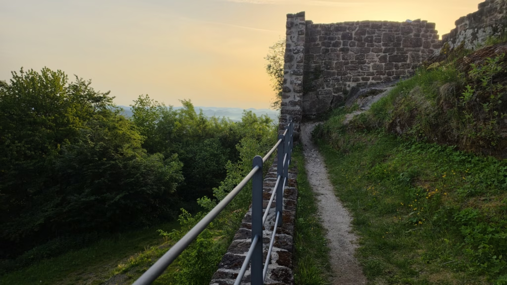
A Gesellschaft zur Verschönerung der Wegelnburg (a 19th-century preservation society) formed in the 1860s and carried out the first preservation work. A more substantial restoration ran from 1979 to 1982, removing large amounts of rubble; some of the masonry rebuilt then is non-historic by the operator’s own acknowledgement.[2] The site has been in the care of the Schlösserverwaltung Rheinland-Pfalz (the state castle administration, now GDKE) since 1963.[3] A further round of Sanierungsmaßnahmen closed the ruin from 2018 through 2023, adding the iron handrails and new wall supports that visitors now use on the inner staircases. The trail and summit have been freely accessible again since.[5]
What we did
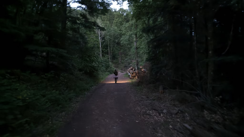
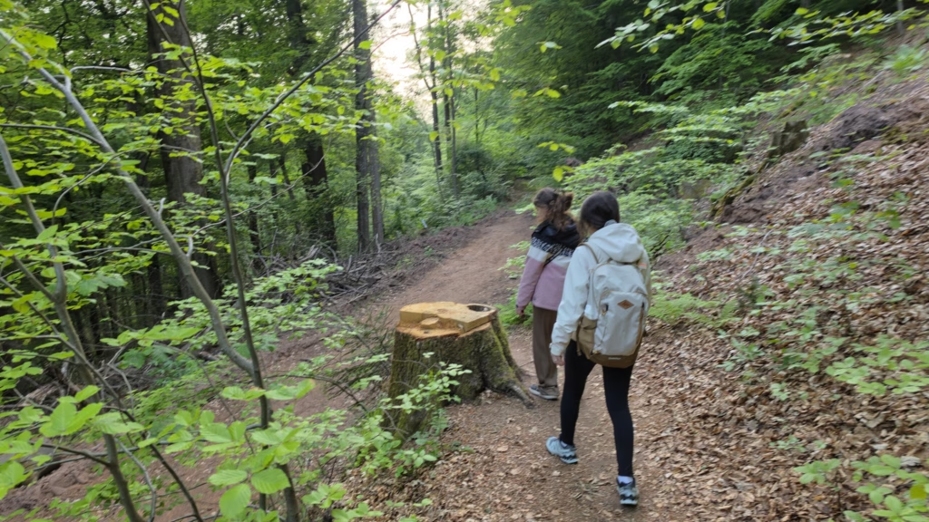
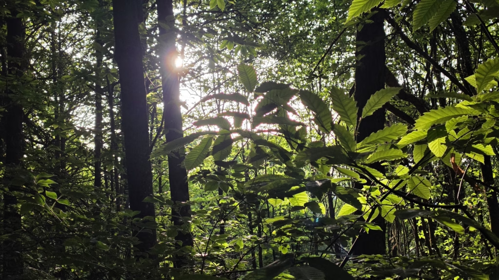
We left Kaiserslautern at 03:40 on roads that were ours alone, parked at 04:05 by a viewing bench in an open field just outside Nothweiler (the trail starts directly opposite), and were on the ridge by 04:46. The hike is uphill the entire way, about 40 minutes of steady climb on a rocky forest path with tree roots crossing it. In the pre-dawn dark those roots are real tripping hazards. Headlamps are not optional. We climbed in layers and were sweating by the time we reached the ruin, then froze once we stopped moving in the ridge wind.

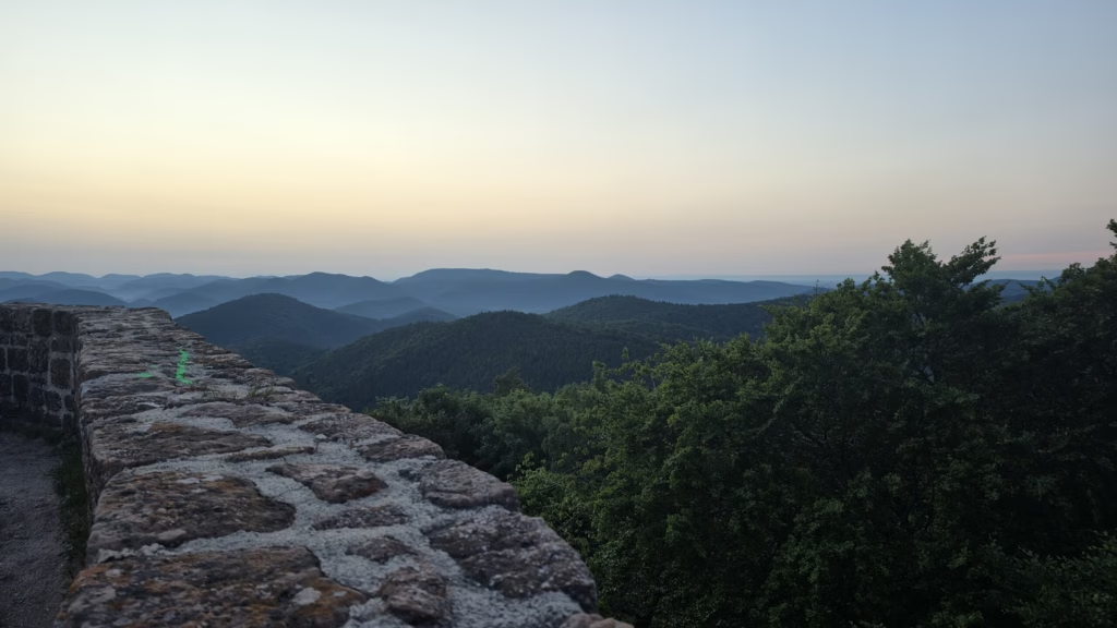
On the summit we discovered that we were not alone. Roughly fifty other people were already spread along the ruin waiting for the sun, mostly speaking German with a few French voices in the mix. The combined effect of a holiday weekend and the first stable warm morning of the season had pulled out the regional sunrise-photographer crowd. The Wegelnburg is unfenced and the Oberburg platform is generous, so the crowd dispersed naturally along the ramparts, but anyone hoping for a private summit moment on a May Sunday should reset expectations.
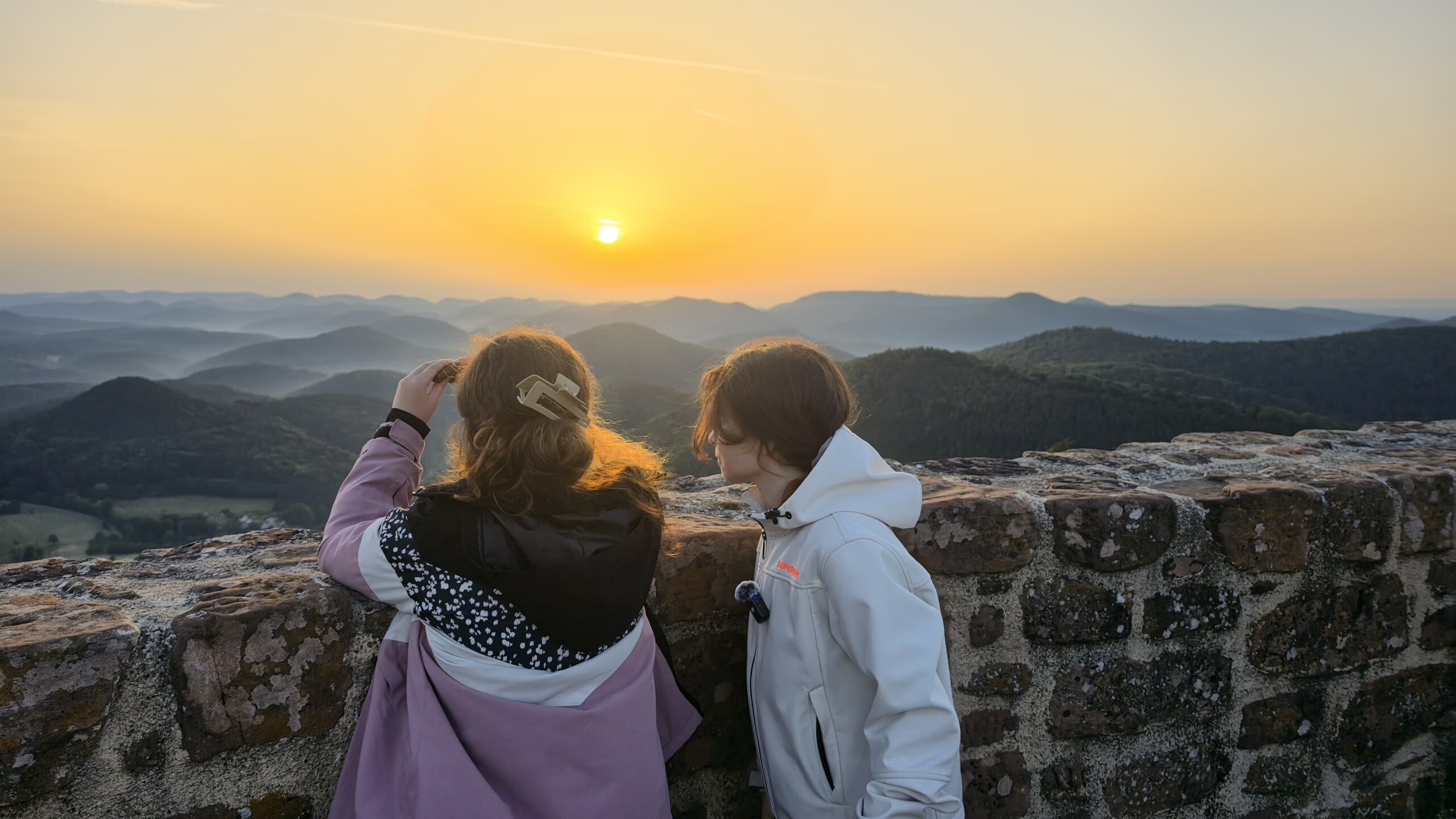
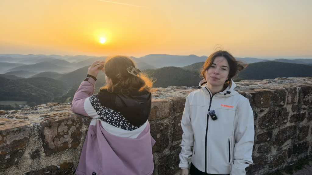
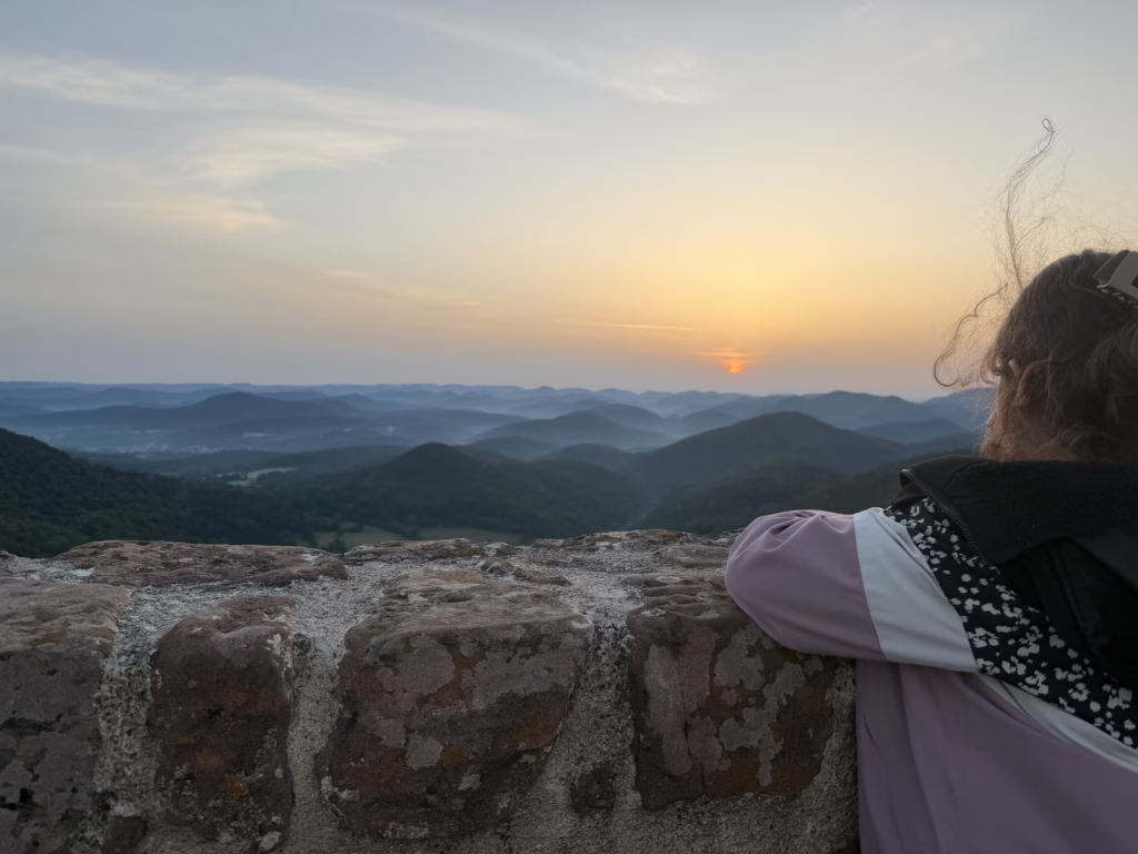
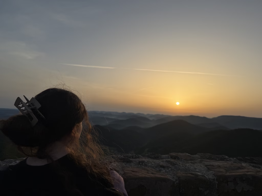
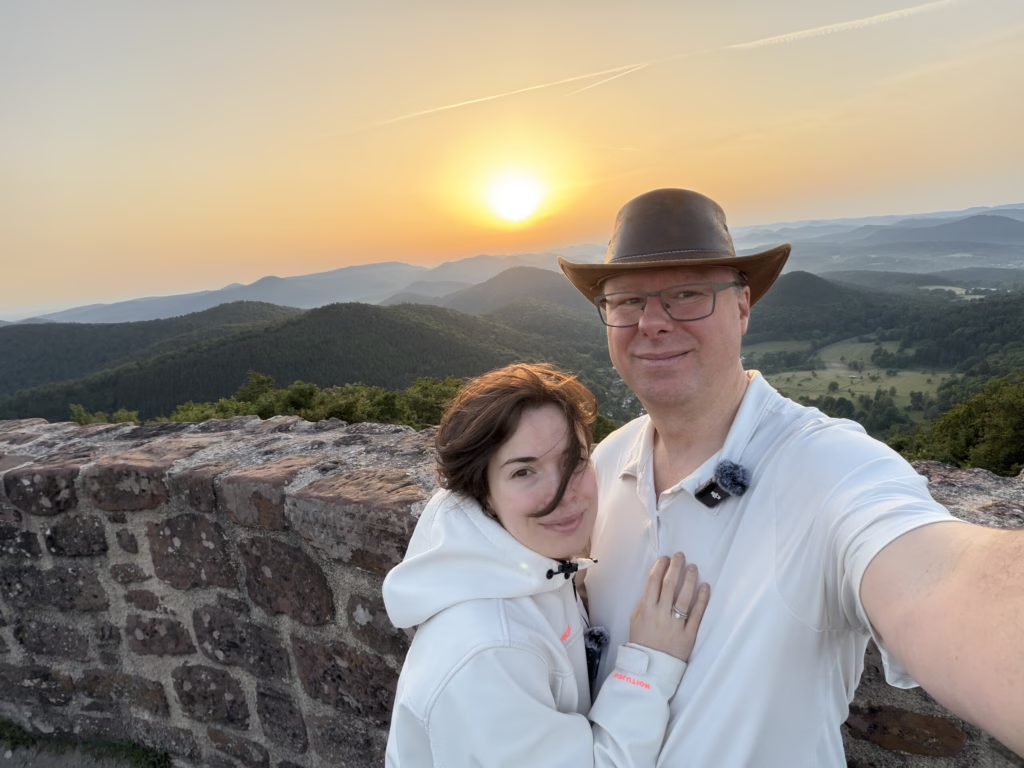
Calculated sunrise on 24 May was 05:36. The visual sunrise was not. A cloudbank sat across the eastern horizon and the sun stayed below it for another twenty-five minutes. The crowd waited in near-silence. At 06:02 the disc finally cleared the cloud and a strong orange light spread across the entire Wasgau forest below the ridge, the kind of moment that pays back the 03:40 alarm. That instant is the strongest view any of the three of us has ever seen in Rheinland-Pfalz.

The photography sweet spot at Wegelnburg is the southern wall — Samira parked there for about half an hour while the light came up and worked it for most of her video. The northern and southwestern edges are worth the extra walk if you want to range farther for compositions; that’s where the wide-angle drone shots open up. For drone photography: EASA airspace is clear here and a Mavic 3 Cine handles the ridge wind comfortably, though pre-dawn cold drops battery life noticeably. We heard at least two other drones in the same window; bring a microphone wind guard if you’re recording audio.
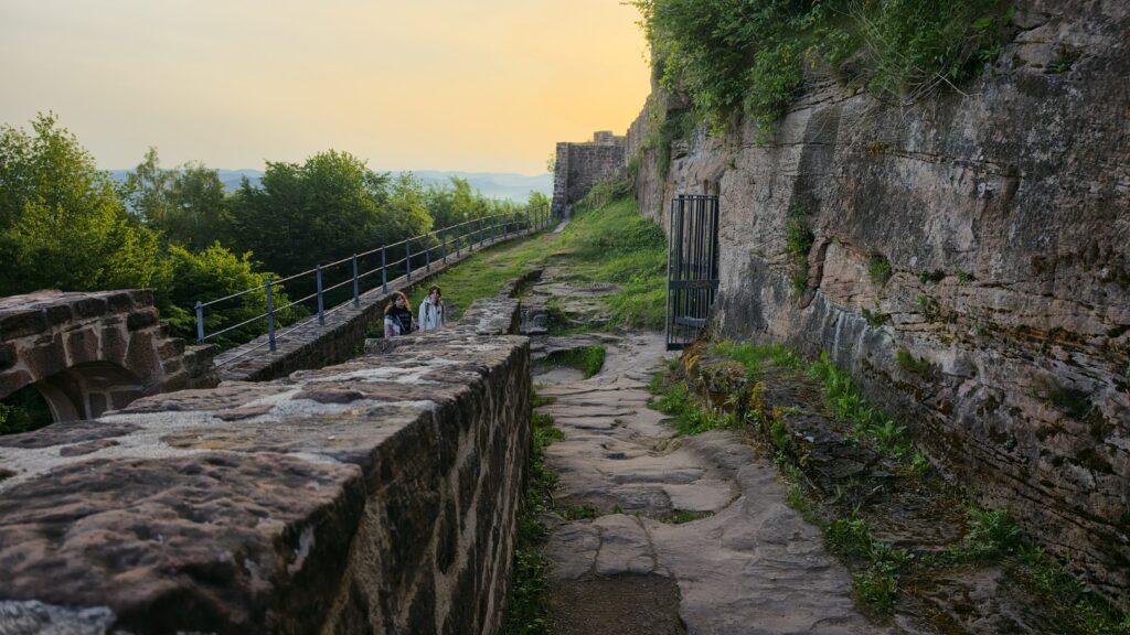
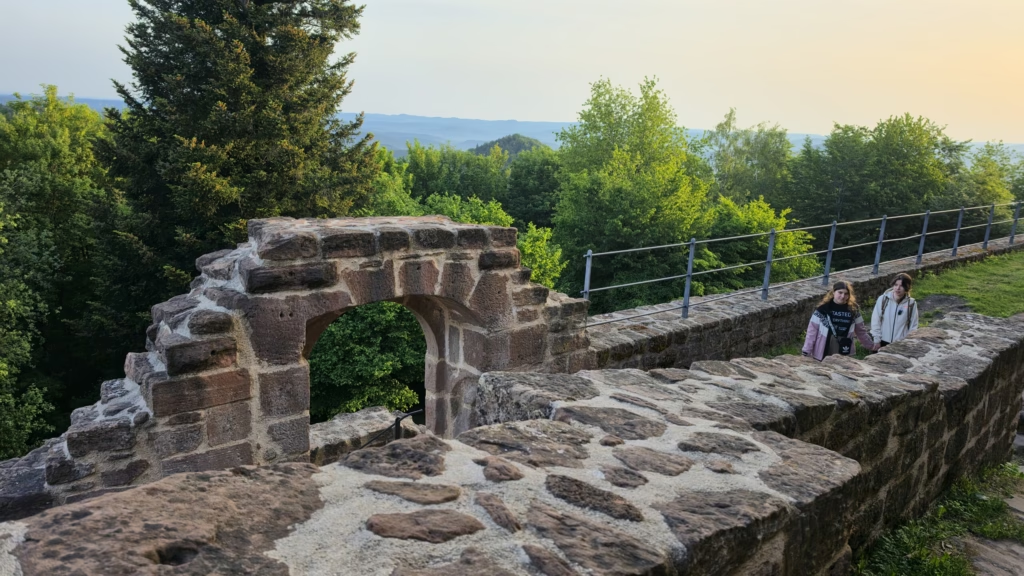
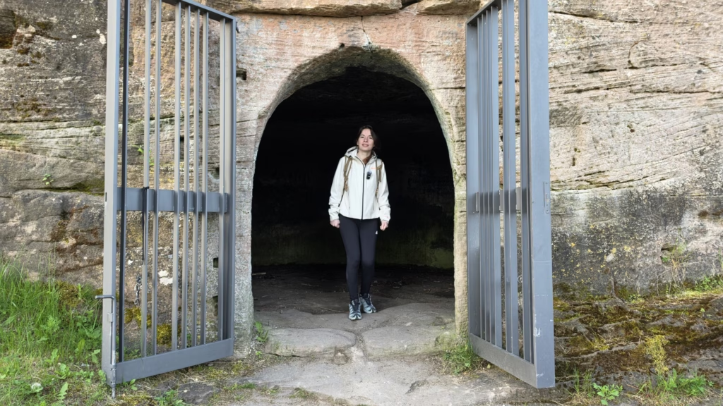
Once the sun was well up we worked the inner ward. The Felsentreppen (rock-cut staircases) lead through the layered Unter-, Mittel-, and Oberburg (the lower, middle, and upper wards) structure.[3] The restored innerer Torbau (inner gate) is the most complete piece of masonry on site.
The Brunnenschacht, a well shaft 2.15 m in diameter cut into solid sandstone, is open to about 8.5 m of depth before debris fill begins.[2] The 1979-82 reconstructions are visible where the stonework color and pointing changes; the operator names them as non-historic.[2] From the south wall we picked out the Hohenburg and Löwenstein ruins on the next ridge east and the Burg Fleckenstein silhouette on its sandstone spur about 2 km south on the French side.[2] We did not cross to the Hohenburg this morning; we have walked the Deutsch-Französischer Burgenweg (the German-French castle trail) on prior visits and saved it for another post.[6]
Where to eat and drink
There is no food on the summit and no food in Nothweiler before 08:00 on a Sunday. We brought water and sandwiches in the pack and ate them on the ramparts while the sun came up; that is the right call for a sunrise visit.
The nearest bakery is a Wasgau Bäckerei in a neighboring village that opens at 08:00 on Sundays, but by 07:30 we were back at the car and already moving toward Kaiserslautern, so we skipped it. As of May 2026: if you want a real coffee-and-pastry stop after the descent, the strongest option is to drive 10 km south across the border to Wissembourg for Daniel Rebert, the Alsace pastry destination that opens earlier than anything on the German side. Dahn, 8 km north on the German side, is the alternative if you want to stay in the Pfalz.
Practical tips
A sunrise visit is the strongest framing for this hike and shapes every line below.
- Departure timing: for late-May sunrise around 05:36, depart Kaiserslautern by ~03:40 to reach the trailhead by 04:05 and the summit by 04:50. Cloudbanks on the eastern horizon routinely delay the visual sunrise by 15-30 minutes past the calculated time; allow margin.
- Dress in layers and carry a real jacket. The 40-minute uphill climb in pre-dawn cool air gets you sweating; the moment you stop on the ridge the wind and pre-sunrise cold cut through damp base layers. Strip on the way up, add the jacket the moment you arrive.
- Trail tripping hazards in the dark. The Pfälzerwald forest path is laced with roots and embedded rocks. Headlamps are mandatory, slow steps recommended; this is not terrain to power-hike before coffee.
- Castle step erosion. The original sandstone steps inside the inner ward are worn concave from centuries of use, and the worn-downward profile becomes slippery when wet or sandy. Iron handrails were added in the 2018-2023 Sanierung; use them. The renovation made the castle a safer adventure overall, but the original steps are the place to be deliberate.
- Bring breakfast. No food on the summit, none in Nothweiler before 08:00 on a Sunday. Pack water, a thermos, and something to eat on the ridge.
- Crowd expectations. On a holiday weekend with clear weather expect 30-50 other people on the ridge at sunrise; off-season weekday mornings will be much quieter. The summit is generous enough to absorb the crowd if you walk to the southern or northern edges.
- Drones. The airspace above the ridge is open under EASA Open A1/A3 with EU eID broadcast — a Mavic 3 Cine handles the ridge wind comfortably but pre-dawn cold drops battery life ~15%. Bring a second battery if you want both sunrise and post-sunrise flights, and stash it inside your jacket on the climb up to keep it warm.
- Cell service: patchy on the trail, usable on the summit. Download an offline trail map (Outdooractive, Komoot, or the official Dahner Felsenland map) before you leave Nothweiler.
For another KMC-area border-ridge day trip on the Alsace frontier, see the Fort Schoenenbourg Maginot bunker guide about 30 km south of the Wegelnburg ridge.
Trail data
The full GPS track from Sunday morning, exported to Komoot.[7] Roughly 350 m of climb over 2 km on the ascent, with the elevation profile concentrated in the second half of the climb.
From the visit

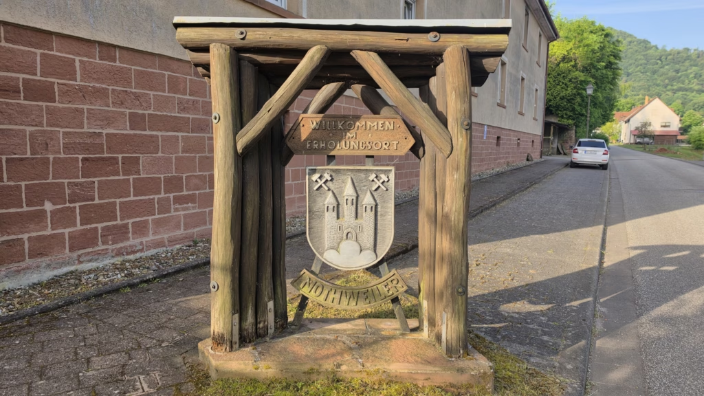
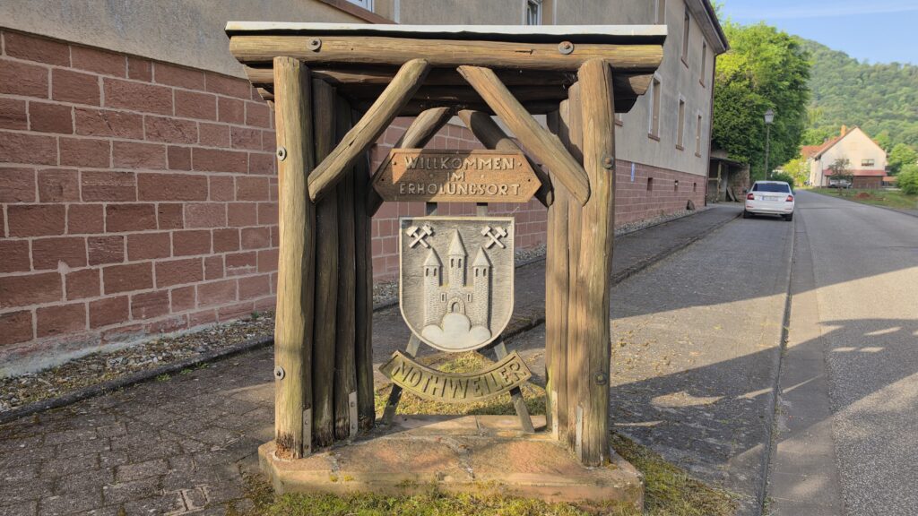
Watch the visit
A YouTube companion shot the same morning is in production. This section will be updated with the embed when the video ships; until then, the gallery and Komoot trail above carry the visual record.
Sources
- Pfälzerwald-Tourismus.de, Burgruine Wegelnburg (retrieved 2026-05-22). Castle height 572 m. Deutsch-Französischer Burgenweg and Felsenland Sagenweg access routes.
- Wikipedia DE, Wegelnburg (retrieved 2026-05-22). Castle chronology, 1247 first mention, 1282 Straßburg episode, 1322 Ludwig von Bayern, 1330 Kurpfalz pledge, 1417 Pfalz-Zweibrücken exchange, Thirty Years’ War damage, 1979-82 restoration notes, Felsriff dimensions, Brunnenschacht specifications.
- Burgenlandschaft Pfalz (GDKE), Burgruine Wegelnburg (retrieved 2026-05-22). Operator page. Confirms 1680 French destruction, year-round free access, no winter service, Schlösserverwaltung Rheinland-Pfalz ownership since 1963, 45-minute walk from Nothweiler with 350 m of climb.
- Wanderparadies Wasgau, Burg Wegelnburg (Praktische Informationen) (retrieved 2026-05-22). GPS coordinates, 1680 Montclar destruction, free admission, parking at Parkplatz Château de Fleckenstein (FR) as an alternative trailhead.
- Burgen-Pfalz.com, Neuvorstellung: Wegelnburg (retrieved 2026-05-22). The source’s photo captions date the closure and Sanierungsmaßnahmen to 2018-2023; also covers scope of work on Unter- and Mittelburg masonry and renewed free public access after 2023.
- Wanderparadies Wasgau, Fleckenstein, Löwenstein, Hohenbourg, Wegelnburg und der Kappelstein (retrieved 2026-05-22). Cross-border four-castle hike, 14.7 km with variants of 8.4 km and 11.8 km, 625 m total climb, Deutsch-Französischer Burgenweg trail markers.
- Komoot, Wegelnburg sunrise hike (Tour 2973584918) (recorded 2026-05-24). GPS track and elevation profile from our visit.